
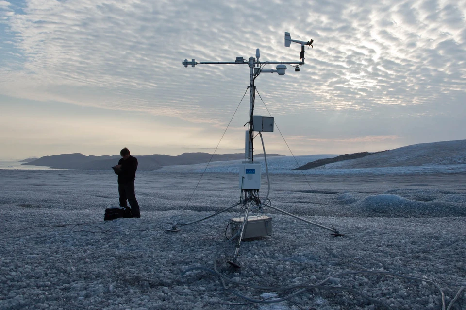
Data from the PROMICE and GC-Net monitoring programmes are essential for understanding changes in Greenland’s ice sheet and its contribution to rising sea levels. Data from these programmes have now been consolidated into a single, improved and integrated database.
Ensuring coherence in data series
The dataset is based on measurements from 52 automatic weather stations across Greenland and provides researchers with access to a consistent and continuously updated data source.
PROMICE (Programme for Monitoring of the Greenland Ice Sheet) was established in 2007 to monitor mass loss from the Greenland Ice Sheet – particularly in the marginal zones, where melting and calving are most intense. The programme combines measurements from weather stations, satellites and GPS to understand both surface melting and the movement of the ice.
GC-Net, which was established in the 1990s, supplements this with measurements from the centre of the Greenland Ice Sheet, where snow accumulation and climate play a central role. Together, the two programmes provide a comprehensive picture of the Greenland Ice Sheet’s mass balance and deliver data almost in real time.
The integration of the two networks brings together a key part of the international climate monitoring of the Greenland Ice Sheet. This ensures continuity in data series spanning decades, which is crucial for understanding climate change.
“We have combined two of the most important measurement programmes in Greenland into a single, consistent dataset. This makes it far easier to use data across regions and time periods, and it can strengthen both research and the basis for decision-making,” says Robert S. Fausto, Senior Researcher at GEUS and lead author of the study.
The new dataset is standardised, freely available and updated regularly. The entire data processing is based on open-source tools, and this enables researchers to reproduce and verify analyses.
Data for research and decision-making
The automatic weather stations measure temperature, radiation, wind and snowmelt all year round – even in hard-to-reach areas. The data is transmitted via satellite and used for both research and climate monitoring.
The aim is to make the data more useful for both researchers and public authorities, thereby improving our understanding of developments in the Arctic.
The programmes are run by the Geological Survey of Denmark and Greenland (GEUS) in collaboration with DTU Space and Asiaq Greenland Survey. They also draw on station data from external research groups at the University of Copenhagen, the University of Graz, the University of Innsbruck, Geosphere Austria, the Austrian Polar Research Institute and the University of Liverpool, with international support for data processing from the NASA Goddard Institute for Space Studies and Autonomic Integra LLC.
This collaboration ensures robust data on Greenland’s ice sheet, which is used, for example, to test satellite measurements and improve climate models.
For decision-makers in Denmark and Greenland, this provides, among other things, a better basis for assessing the ice sheet’s contribution to rising sea levels.