
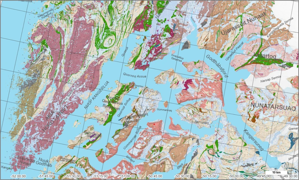
Today, The Geological Survey of Denmark and Greenland (GEUS) releases a new and updated digital geological mapping of South and Southwest Greenland. The new seamless map represents an important step in the ongoing work to digitalise and harmonise legacy geological data and offers researchers, authorities and industry detailed and coherent knowledge of the Greenlandic bedrock.
The map integrates 21 digitised geological map sheets at a scale of 1:100,000, originally published by the Geological Survey of Greenland (GGU) and GEUS between 1966 and 2011. The result is a modern, integrated dataset that for the first time presents the geology of the region in a single unified digital model.